Cove · Manacor

Cala Anguila

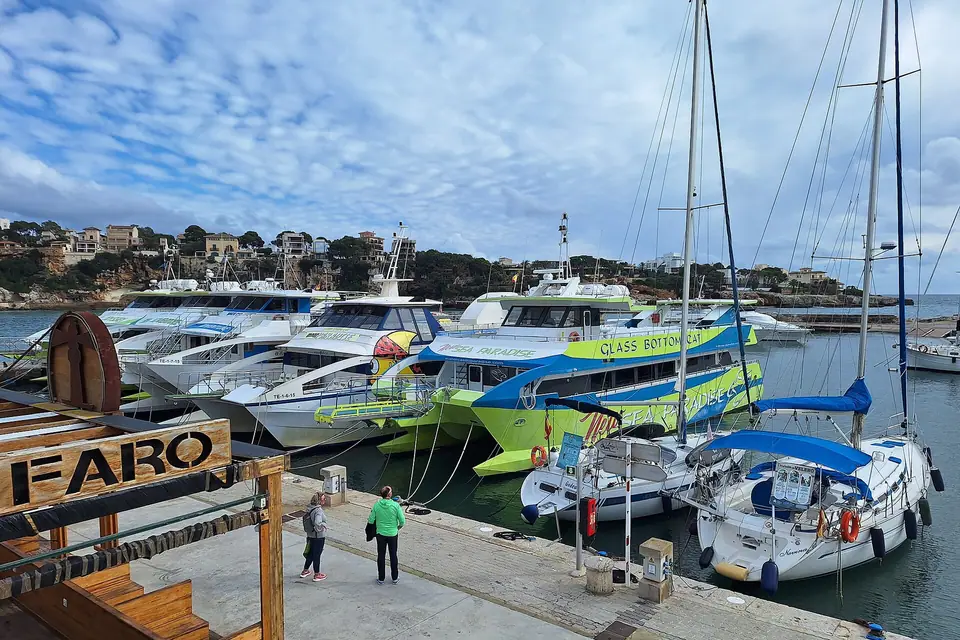
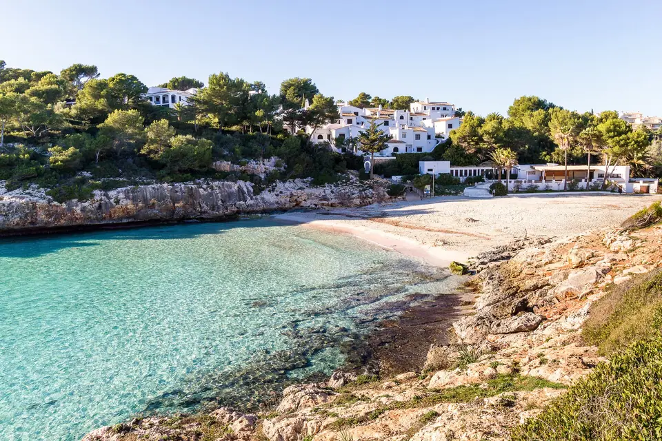
A cove of white sand and gravel in Manacor, in an urban setting and open to the south. It has sunbeds, water-sports rental, toilets, showers and a beach bar, and the official listing includes the boat among the ways to get there.

Sand
Sand and gravel

See trips that reach it

View of Cala Anguila, Mallorca
Photo: Sönke Biehl · CC BY-SA 3.0

Cala Anguila at a glance

Sand
Sand and gravelWhite sand
Orientation
Faces south
Usual swell
Moderate swell
Surroundings
Urban
Facilities
  • Beach bar
  • Sunbeds and parasols
  • Showers
  • Toilets
  • Equipment hire
Crowds
Very busy in seasonFrom the official beach inventory, not a measurement of today.

By bus

  • Line 427: 427Cala Mendia - Portocristo480 m from the beachStop “Platja de Cala Mendia 2”
  • Line 428: 428Cala d'Or - Portocristo1.8 km from the beachStop “Coves del Drac 2”
  • Line 424: 424Cala Rajada - Portocristo1.8 km from the beachStop “Coves del Drac 1”

Stops of the TIB intercity network, measured in a straight line. The data published by TIB for line 427 only run until 31 October 2026 (summer timetable): in winter it may not run. Check the current timetable at tib.org.

No car? How to get around by public transport

On foot

  • Easy

According to the OpenStreetMap map, the nearest car park is right by the beach.

Some links are affiliate links: if you book, we may earn a commission at no cost to you. How affiliate links work

When to visit Cala Anguila

Sea temperature, month by month

Average values for Mallorca (NOAA OISST, 1991-2020 climatology), not measured at this spot.

What Mallorca is like month by month

Which winds to avoid

Cala Anguila opens to the south: with southerly, south-easterly, south-westerly, easterly or north-easterly winds, swell usually rolls in.

With northerly, westerly or north-westerly winds, by contrast, it is usually more sheltered.

This is a general orientation based on which way it opens, not a forecast: the shape of each coast changes it, so check the day’s weather before you go.

Experiences that reach Cala Anguila

Trips and activities from our directory that include or stop at Cala Anguila. Each listing takes you to book on the platform you prefer.

See all boat and sea trips

✈ PMI © OpenStreetMap

Cala Anguila on the map

Where it is and which coves lie around it.

Coves and beaches near Cala Anguila

As the crow flies, nearest first.

Questions about Cala Anguila

How do you get to Cala Anguila?

OpenStreetMap lists 4 car parks within 1 km of the beach. The nearest is right by the beach. The fees of the others are not recorded. Line 427 (Cala Mendia - Portocristo): stop “Platja de Cala Mendia 2”, 480 m from the beach; Line 428 (Cala d'Or - Portocristo): stop “Coves del Drac 2”, 1.8 km from the beach; Line 424 (Cala Rajada - Portocristo): stop “Coves del Drac 1”, 1.8 km from the beach. Easy path. According to the OpenStreetMap map, the nearest car park is right by the beach. The official beach listing includes the boat among the ways to get there.

Is there a bus to Cala Anguila?

Line 427 (Cala Mendia - Portocristo): stop “Platja de Cala Mendia 2”, 480 m from the beach; Line 428 (Cala d'Or - Portocristo): stop “Coves del Drac 2”, 1.8 km from the beach; Line 424 (Cala Rajada - Portocristo): stop “Coves del Drac 1”, 1.8 km from the beach. Stops of the TIB intercity network, measured in a straight line. The data published by TIB for line 427 only run until 31 October 2026 (summer timetable): in winter it may not run. Check the current timetable at tib.org.

What facilities are there at Cala Anguila?

Beach bar, Sunbeds and parasols, Showers, Toilets, Equipment hire.

Which winds bring swell to Cala Anguila?

Cala Anguila opens to the south: with southerly, south-easterly, south-westerly, easterly or north-easterly winds, swell usually rolls in. With northerly, westerly or north-westerly winds, by contrast, it is usually more sheltered.

Sources

Our own text, based on these sources consulted on 2026-10-25. Dates, opening times and bus lines change: check them before you go.